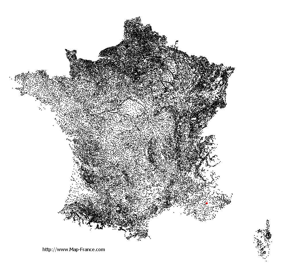
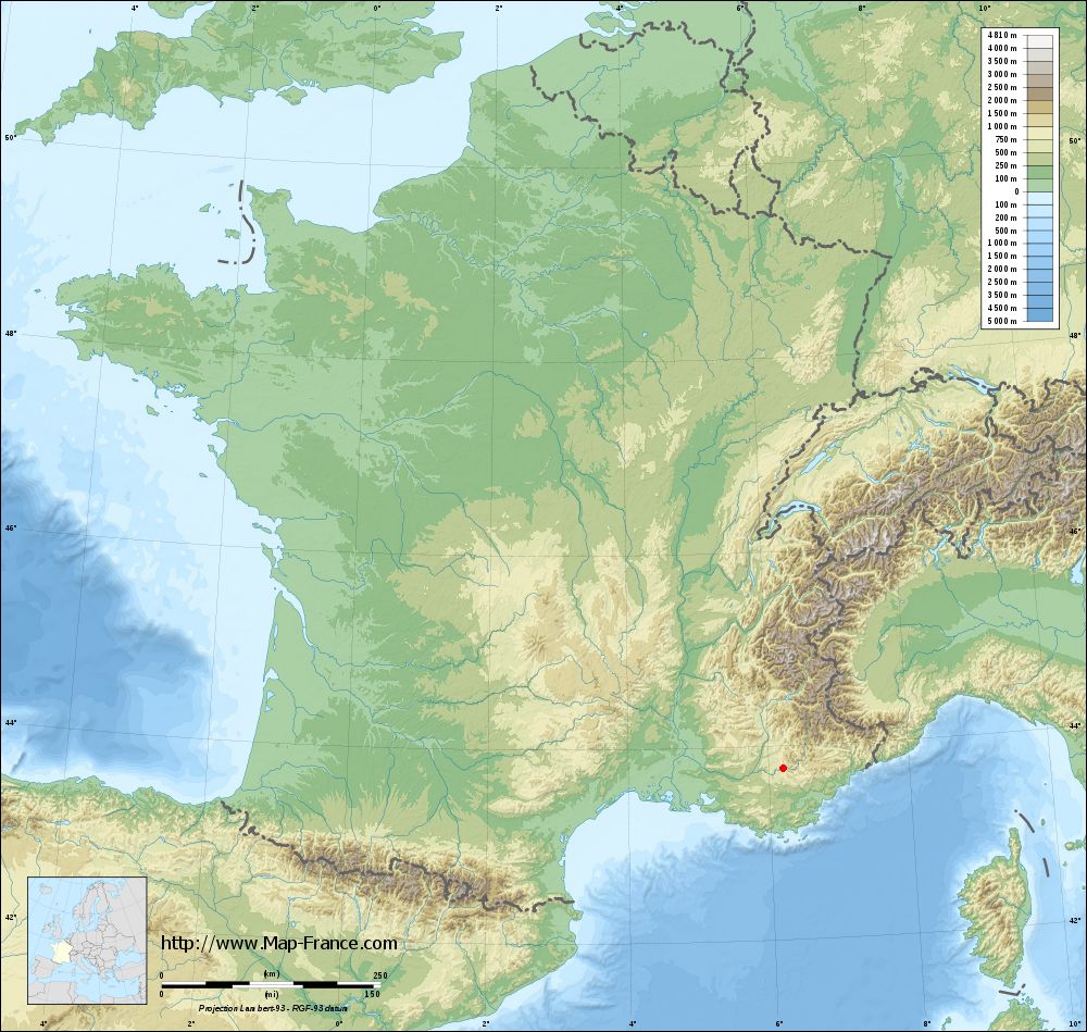
Les Salles-sur-Verdon on the relief France map in Lambert 93 coordinates
|

See the map of Les Salles-sur-Verdon in full screen (1000 x 949)
|
At left, here is the location of Les Salles-sur-Verdon on the relief France map in Lambert 93 coordinates.
Here are the altitudes of Les Salles-sur-Verdon :
- Town hall altitude of Les Salles-sur-Verdon is 500 meters
- Minimum altitude of Les Salles-sur-Verdon is 476 meters
- Maximum altitude of Les Salles-sur-Verdon is 665 meters
- Medium altitude of Les Salles-sur-Verdon is 571 meters
Here are the altitudes of Toulon, prefecture of Var department:
- Town hall altitude of Toulon is 30 meters
- Minimum altitude of Toulon is 0 meters
- Maximum altitude of Toulon is 589 meters
- Medium altitude of Toulon is 295 meters
Here are the altitudes of the french biggest cities:
Paris : 33 meters
Marseille : 20 meters
Lyon : 237 meters
Toulouse : 146 meters
Nice : 10 meters
Nantes : 20 meters
Strasbourg : 144 meters
Montpellier : 35 meters
Bordeaux : 16 meters
Lille : 20 meters
Rennes : 35 meters
Reims : 83 meters
Click here for the terrain map of Les Salles-sur-Verdon in full screen:
Relief map of Les Salles-sur-Verdon
|
This relief map of Les Salles-sur-Verdon is reusable and modifiable by making a link to this page of the Map-France.com website or by using the given code :
|
Terrain base map of Les Salles-sur-Verdon
|
See the terrain base map of Les Salles-sur-Verdon in full screen (1000 x 949)
|
Small relief base map of Les Salles-sur-Verdon

|
This base map of Les Salles-sur-Verdon is reusable and modifiable by making a link to this page of the Map-France.com website or by using the given code :
|
Map of Les Salles-sur-Verdon with regions and prefectures
|
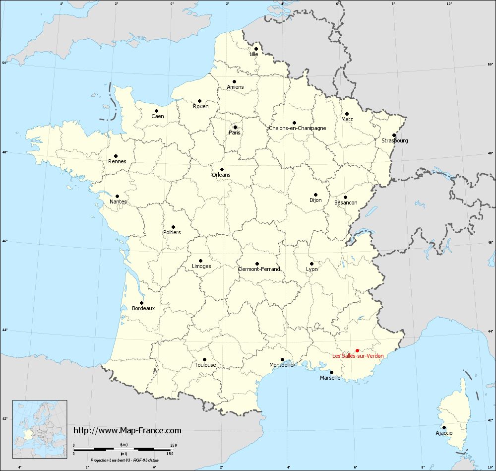
View the map of Les Salles-sur-Verdon in full screen (1000 x 949)
|
You will find the location of Les Salles-sur-Verdon on the map of France of regions in Lambert 93 coordinates. The town of Les Salles-sur-Verdon is located in the department of Var of the french region Provence-Alpes-Côte d'Azur.
Geographical sexagesimal coordinates / GPS (WGS84):
Latitude: 43° 46' 27'' North
Longitude: 06° 12' 35'' East
Geographical decimal coordinates :
Latitude: 43.773 degrees (43.773° North)
Longitude: 6.2 degrees (6.2° East)
Lambert 93 coordinates :
X: 9 584 hectometers
Y: 63 025 hectometers
Lambert 2 coordinates :
X: 9 121 hectometers
Y: 18 713 hectometers
Below, the geographical coordinates of Toulon, prefecture of the Var department:
Geographical sexagesimal coordinates / GPS (WGS84):
Latitude: 43° 07' 30'' North
Longitude: 05° 55' 50'' East
Geographical decimal coordinates :
Latitude: 43.127 degrees (43.127° North)
Longitude: 5.934 degrees (5.934° East)
Lambert 93 coordinates :
X: 9 386 hectometers
Y: 62 295 hectometers
Lambert 2 coordinates :
X: 8 929 hectometers
Y: 17 981 hectometers
|
This map of Les Salles-sur-Verdon is reusable and modifiable by making a link to this page of the Map-France.com website or by using the given code :
|
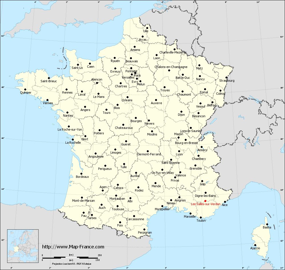
Map of Les Salles-sur-Verdon with departments and prefectures
|
Voir la carte of Les Salles-sur-Verdon en grand format (1000 x 949)
|
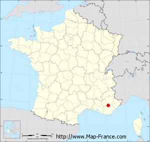
Here is the localization of Les Salles-sur-Verdon on the France map of departments in Lambert 93 coordinates. The city of Les Salles-sur-Verdon is shown on the map by a red point.
The town of Les Salles-sur-Verdon is located in the department of Var of the french region Provence-Alpes-Côte d'Azur.
The latitude of Les Salles-sur-Verdon is 43.773 degrees North.
The longitude of Les Salles-sur-Verdon is 6.2 degrees East.
Here the distance between Les Salles-sur-Verdon and the biggest cities of France:
Distances are calculated as the crow flies (orthodromic distance)
Distance between Les Salles-sur-Verdon and Paris : 637.75 kilometers
Distance between Les Salles-sur-Verdon and Marseille : 83.38 kilometers
Distance between Les Salles-sur-Verdon and Lyon : 245.57 kilometers
Distance between Les Salles-sur-Verdon and Toulouse : 382.04 kilometers
Distance between Les Salles-sur-Verdon and Nice : 85.59 kilometers
Distance between Les Salles-sur-Verdon and Nantes : 714.5 kilometers
Distance between Les Salles-sur-Verdon and Strasbourg : 547.75 kilometers
Distance between Les Salles-sur-Verdon and Montpellier : 187.74 kilometers
Distance between Les Salles-sur-Verdon and Bordeaux : 551.44 kilometers
Distance between Les Salles-sur-Verdon and Lille : 797.79 kilometers
Distance between Les Salles-sur-Verdon and Rennes : 775.63 kilometers
Distance between Les Salles-sur-Verdon and Reims : 631.47 kilometers
Clic here to see the map of Les Salles-sur-Verdon in full screen:
Les Salles-sur-Verdon on the map of french departments
|
This administrative map of Les Salles-sur-Verdon is reusable and modifiable by making a link to this page of the Map-France.com website or by using the given code :
|
Administrative base maps of Les Salles-sur-Verdon
|

See the administrative base map of Les Salles-sur-Verdon in full screen (1000 x 949)
|
Small administrative base map of Les Salles-sur-Verdon
|
This base map administrative of Les Salles-sur-Verdon is reusable and modifiable by making a link to this page of the Map-France.com website or by using the given code :
|
 French Version : http://www.cartesfrance.fr